Andradas - Pico do Gaviao
State of São Paulo, Brazil
Melden Sie sich an, um das neueste Wetter zu erhalten!
Es ist frei, sich dem Spedmo anzuschließen und anzufangen
Aktuelle Bedingungen
Keine Warnungen.
Denken Sie daran, vor jedem Flug, überprüfen Sie Ihre Ausrüstung , überprüfen Sie die Bedingungen und fragen Sie sich, wenn 'ich bin sicher '?


Erforderliche Start-Windrichtung

Fabinho mostrando o controle do parapente Enzo no vento forte no pico do gaviao em Andradas. Faz parecer fácil.
Aaron Hughes Fügte hinzu
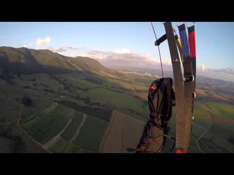
Quick sunset flight down from Pico do Gavião (Andradas MG, Brazil)
Aaron Hughes Fügte hinzu

Vôo de Parapente com os pilotos Raul Guedes, Kido, Daniel Homsi e Tatá Homsi em Andradas, Minas Gerais, Brasil.
Aaron Hughes Fügte hinzu

Ausziehen, starten, abheben, losfahren
-22.0156, -46.6265 : 1634.0 m
Landezone
-22.0454, -46.6259 : 942.0 m
Sonnenaufgang
6:24 vorm.
Sonnenuntergang
5:43 nachm.
Zeitzone
Brasília-Normalzeit (-0300)
One of the top-5 Brazilian sites, where remarkable XC flight records were registered.
10 different concrete and natural ramps for take-offs on a huge well-cared field, allowing for simultaneous take-offs. Many options heading South. Heading North, on a farm below. 168 miles from São Paulo. Take the road to Poços de Caldas and drive until Andradas; there, take the first or the second exit on the left after the Antenna Hill. Follow the signs to the ramp, which is on the border of São Paulo-Minas Gerais states.
Wide and strong thermals make the flight non-advisable for rookies at noon time. Meteo: http://www.picodogaviao.es...
Die folgenden Personen folgen aktiv auf dieser Seite.


